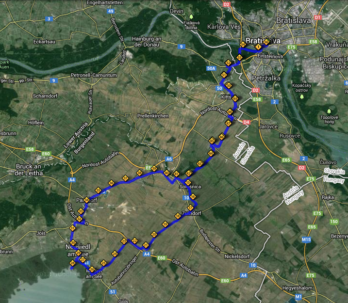
Some of you might recall my posts from September 2012 about the Danube bike paths (here and here). But around the time I wrote those, I was getting desperate for longer, more interesting/challenging bike routes, and soon discovered what quickly became one of my favorites - what I like to call the Bratislava-Devín-Schlosshoff-Hainburg (and back) loop. It's only 33 miles, so it's not especially long, but it's still a good workout, and more importantly, it's a fairly scenic and fun route. What's kind of cool about it is that it takes you past three medieval castles and a sprawling, 18th-century Habsburg-era palace.
However, I wouldn't even have been able to do this route prior to mid August 2012, as that was when Slovakia and Austria jointly opened the new Freedom Cycling Bridge (aka the Chuck Norris Bridge), which is a cycling/pedestrian bridge that crosses the Morava River, connecting Devínska Nová Ves in Slovakia with Schlosshof, Austria.
I've been meaning to document this route for over a year now, but was always too lazy to bring my camera along and stop and take photos. I finally got around to it on a crisp October morning. I try to ride this particular route at least one or twice a week as part of my weekly ~100 miles per week cycling regimen. About 2/3 of the route is in Austria.
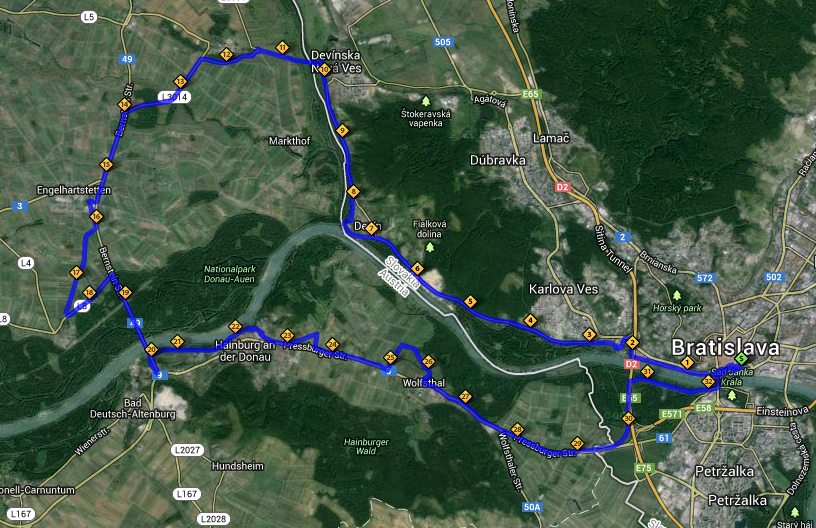 |
| Click on the map to enlarge it. |
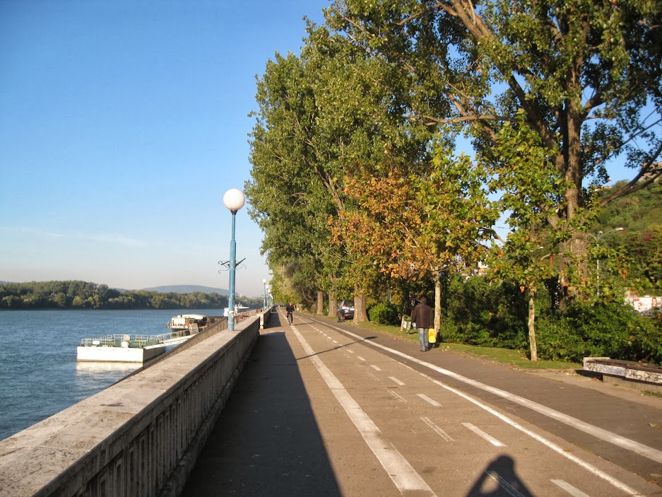
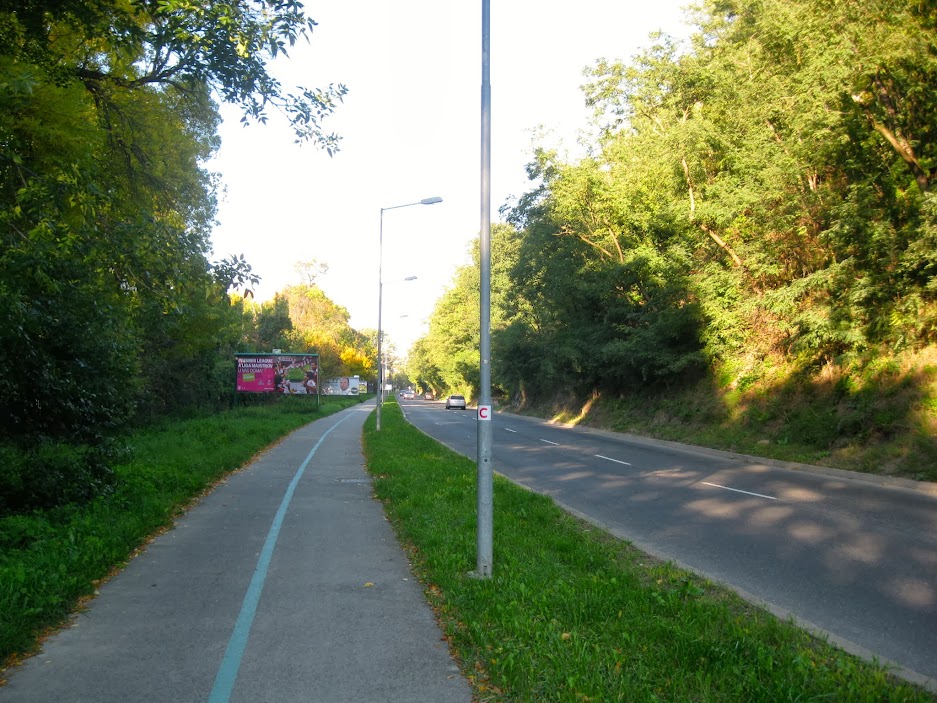
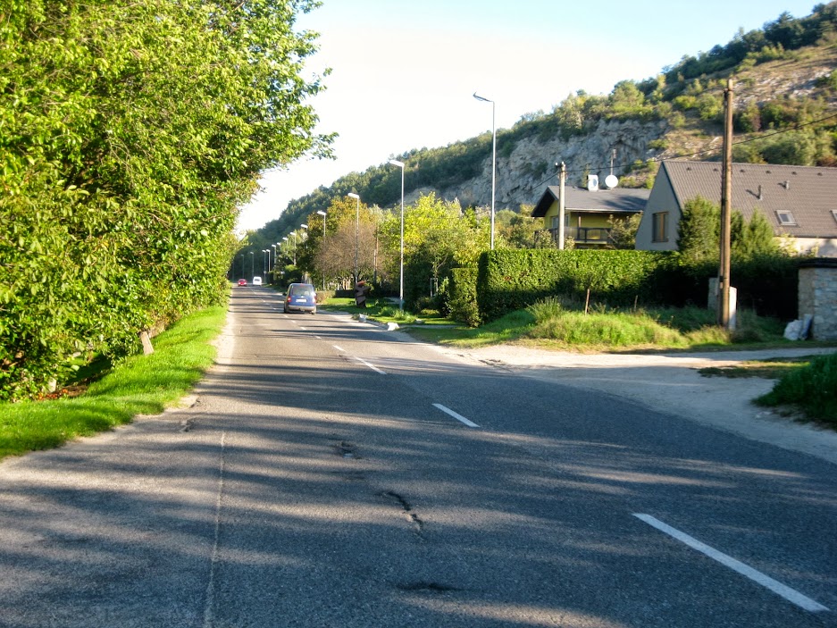
It starts off in the center of Bratislava along the Danube. Notice the generous cycling lane in this photo. The lane used to be narrower, and faded, but after complaints from cyclists, they redid the designated bike lane and made it so wide that it left little room for pedestrians.
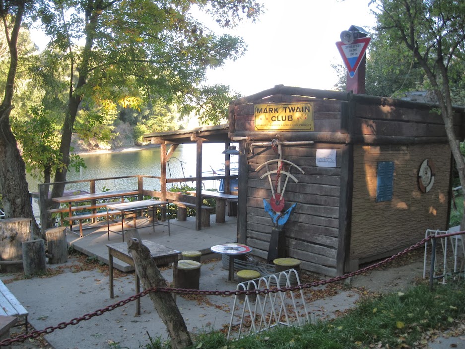
After riding past the interesting looking Hotel River Park complex, and around the Botany university (and botanical garden), you end up on a picturesque, tree-lined bike bath that runs alongside a canal that parallels the Danube. There's even an outdoor pub here, like on the other bike paths I've written about.
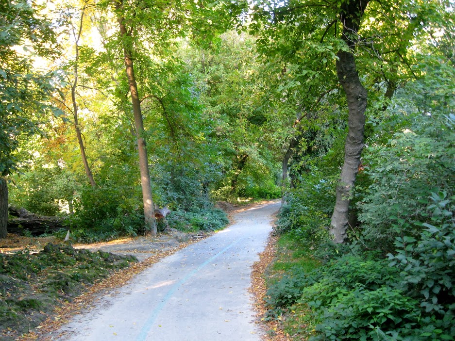
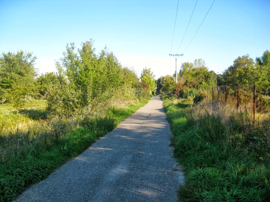
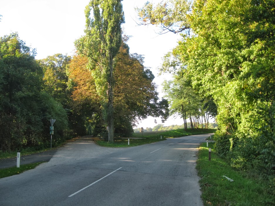
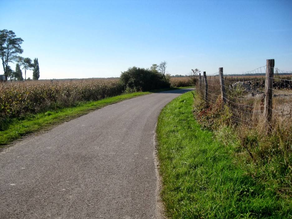
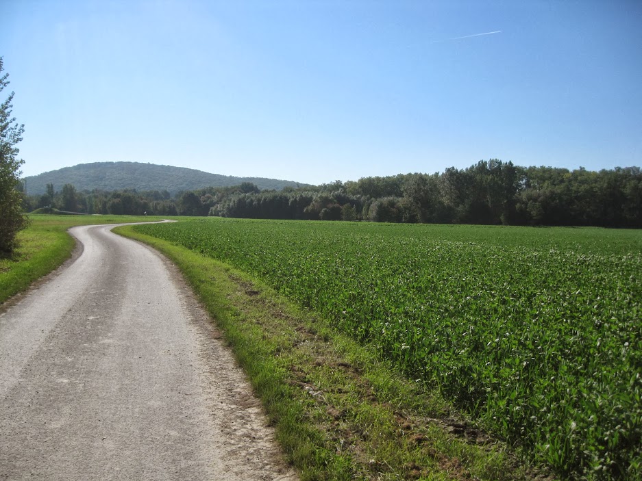
When you begin this stretch of the path you wouldn't be blamed for thinking you're in for a sweet, tranquil ride, given that this is how it looks:
But that part is fleeting, as it soon joins up with Devínska Cesta, the highway that connects Bratislava with the borough (formerly a separate village) of Devín, which sits right along the Austrian border.
However, after about a mile or so, the bike path abruptly ends. To experienced Bratislava-area cyclists, this should come as no surprise, as Bratislava's bike paths are notorious for ending suddenly and depositing you onto busy streets, seemingly at random. Luckily, this road is actually not too busy or traffic-y, and the speed limit is actually lower than it normally would be because it's really the only way that cyclists can reach Devín and the cycling bridge from the city.

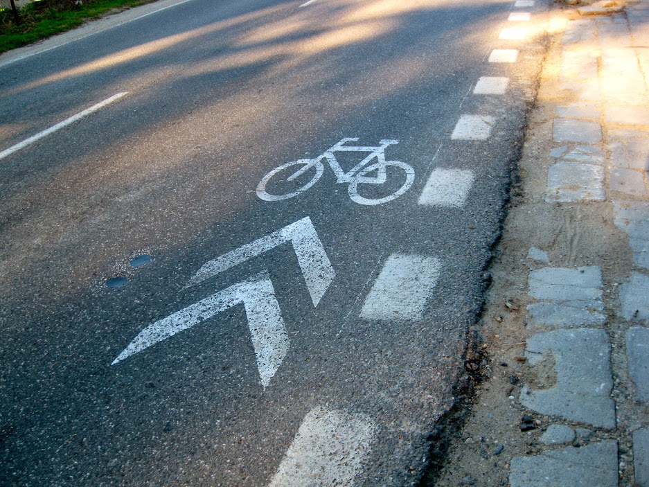
City planners keep saying that they're going to build a separate bike path alongside this road, connecting downtown with Devín, and they even say that might start happening in 2014. But for now what they've done is paint these little cycling markings every 30-40 feet on the road, since the road itself is not wide enough to paint actual bike lanes. While these obviously don't form some kind of magical, invisible forcefield that protects you from Slovakia's crazier drivers, I suppose they're simply there to remind drivers that they have to share the road. And the vast majority of drivers (trucks and busses included) actually give you a pretty generous berth when passing.
People here joke about how the city went to all the trouble to make this cool (and nicely symbolic) cycling bridge to Austria, yet actually getting to it by bike could be rather daunting if you're a less experienced or more leisurely cyclist. So, while it might sound nice to take the family for a scenic bike ride to Devín or the Austrian countryside, there's no way in hell anyone should be taking their children on this road. For seasoned cyclists it's no sweat, of course, and on any given morning I usually see at least a few other cyclists in either direction.
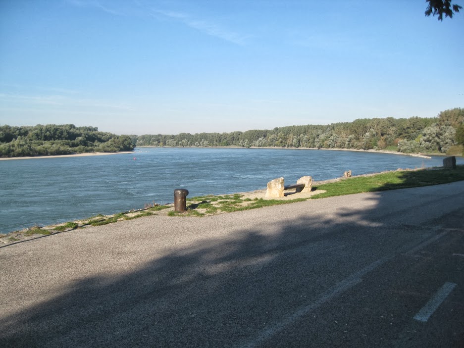
Once you get to Devín, you veer off the main road and eventually hook up with another pedestrian/cycling path that literally skirts the corner where the Morava River spills into the Danube.
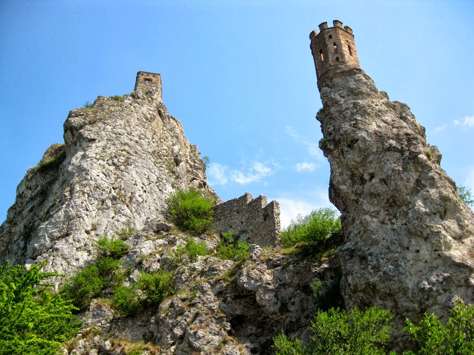
And to your right, of course, are the picturesque ruins of Devín Castle. On nice days you have to keep an eye out for tourists ambling into the bike path while ogling the ruins. I wrote a blurb about Devín here (with photos!). The castle dates back to medieval times and you can blame Napoleon for its ruinous state, as his army bombed the thing back in 1809.

Now, the bike path actually continues from Devín Castle all the way to the cycling bridge, heading north right between the Morava River and the main road. Unfortunately, this part of the bike path is riddled with potholes and large cracks that make riding it on a road bike a serious pain in the ass. Rather than attempt to navigate this neglected obstacle course, I just get back on the smoother main road that runs parallel to it and take that for a couple of miles to reach the bridge. Again, it's fairly mellow.
After a few miles, when you approach Devínska Nová Ves, the road veers away from the river and you have to get back on the bike path, but this last stretch before the bridge is manageable. It's also pretty scenic, and is of historical interest since it marks where the iron curtain used to be. A heavily fortified, militarized fence was erected here to prevent people from leaving during communism. Prior to 1989, you couldn't even get this close to the riverbank. Hundreds of people were shot to death trying to escape into Austria. If you continue riding north past the bridge, you can apparently see the remnants of some old commie-era guard towers, bunkers, and fencing. The entire western border of Czechoslovakia (with Austria and Germany) was once like this.
Which is why the cycling bridge was seen as symbolically important, since the borders are totally open now.

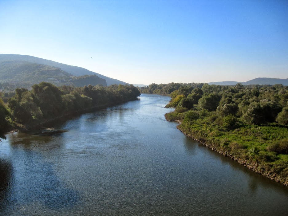
It's a cool bridge, with nice views of the Morava River, the surrounding valley, and the distant hills.
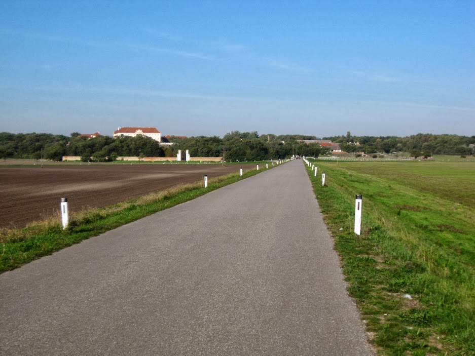
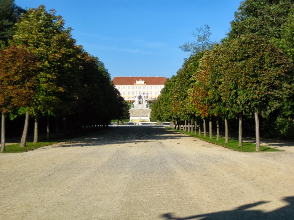
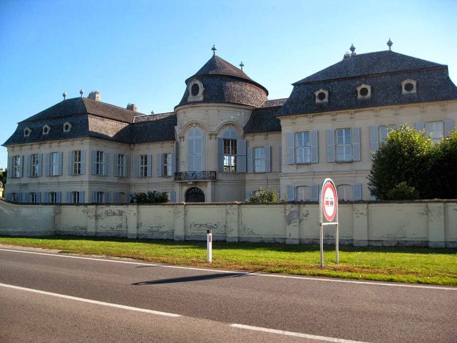
Once in Austria, you arrive at this long, straight (and well paved) road that serves as kind of a grand, dramatic approach to Schlosshof.
Schlosshof is this very French-inspired palace that was built in the first half of the 18th century to house Prince Eugene of Savoy, an extremely successful Habsburg general who was apparently quite the art collector. Habsburg empress Maria Theresa acquired his digs in the 1750s and the Habsburgs used it as a kind of summer home for many years. These days it's a popular tourist attraction.
It's kind of cool to see the palace and the sprawling grounds when you're approaching them. The ornate baroque gate and the old defensive brick wall are pretty striking.
Before moving on, it's interesting to look back at Slovakia, at Devínska Nová Ves, and see the clusters of residential panelaks. You can also see the needle-like Kamzík TV tower way off in the distance.
At Schlosshof, you'll want to veer left and head west along its southern wall.

At some point you'll come to a fork in the road, with the bike path signs telling you to veer left. However, if you're on a road bike, you'll have to stick to the main road. While Austria's bike paths are generally well paved, well signposted, and in way better condition than many of Bratislava's paths, there are a few cases where it seems like someone really dropped the ball, and this is one of them. If you stick to the bike path here, you first go through this lush, picturesque, well-paved country lane that takes you to these historical stables, which are connected to Schlosshof. However, after the stables you head right, at which point the path abruptly turns into a dirt road, and a very gravel-y and rocky one at that, which is totally unsuitable terrain for a road bike. But if you're on a mountain bike or a hybrid, it's no problem. At any rate, this main road is quite mellow.
That road deposits you onto the busier Bernstein Strasse highway, where the first thing you see when you turn left is the groovy, baroque Niederweiden Palace on your left. It was originally built as a hunting lodge in the late 1600s, and it was incorporated into the Schlosshof grounds when Eugene of Savoy had Schlosshof built (it's only a few miles away from the palace). These days it can be rented out for weddings or private parties.
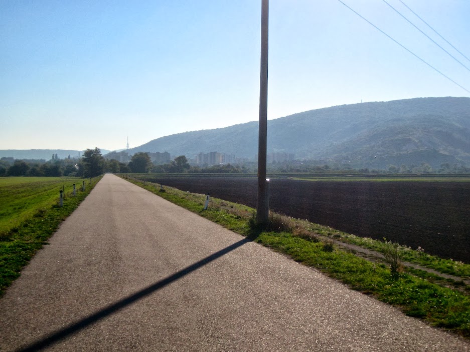
You take the Bernstein Strasse highway a couple miles until you get to the riveting village of Engelhartstetten. This highway is fine for experienced cyclists, but really not recommendable for kids or leisurely weekend riders. While there are faster cars and typically a few big trucks to contend with, the lanes are wide, and again, people generally give you a wide berth, as they're actually accustomed to seeing road cyclists along this route, since there's nowhere else for them to ride.
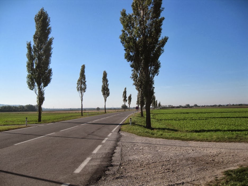
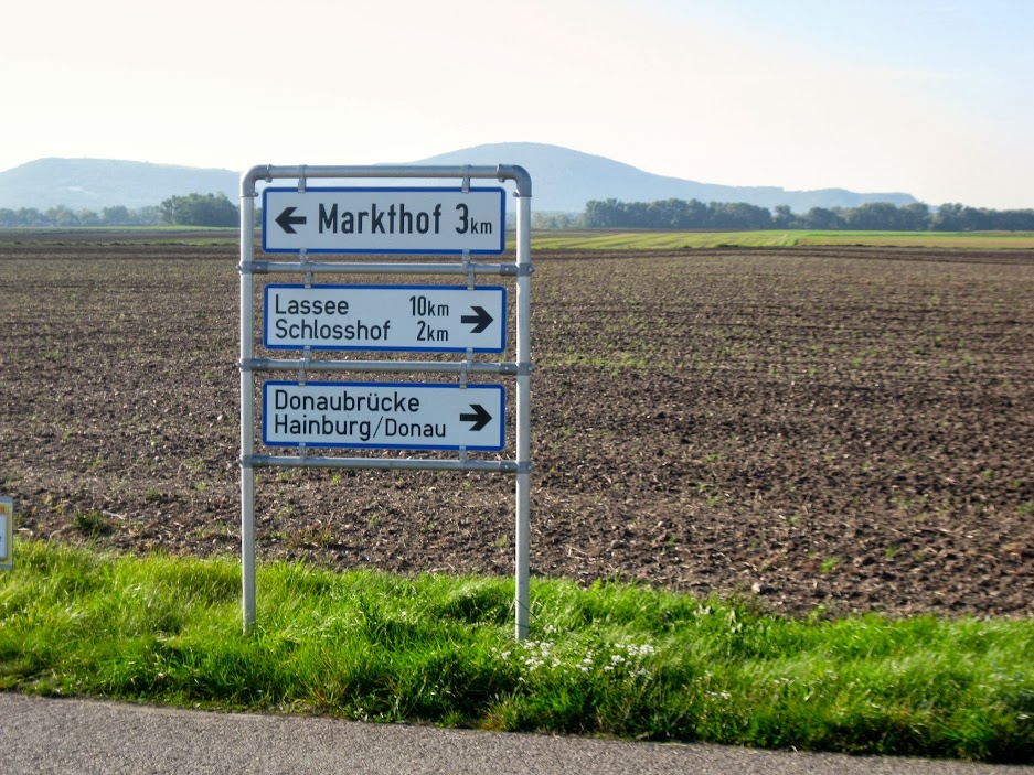
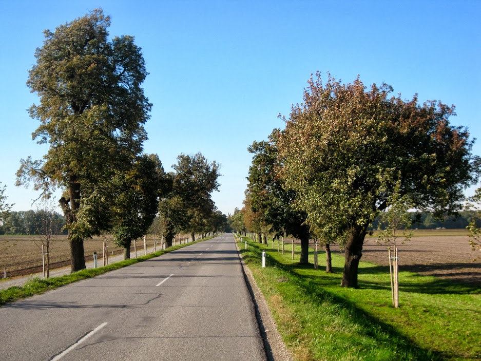
The dirt bike path meets up with the highway at Engelhartstetten. The path actually takes you through the heinously dull farming village (where there is absolutely nothing worth seeing), but I take the highway a bit further down and cut in just past the village to reconnect with the - once-again, thankfully - paved bike path, which goes through a tranquil stretch of farmland.
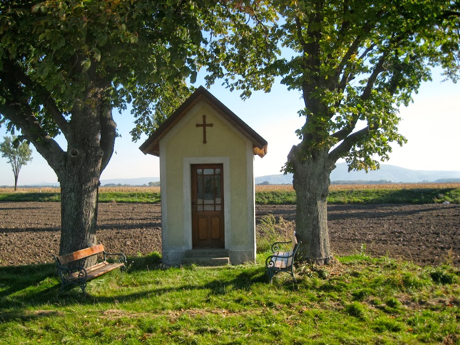
You'll notice a little chapel off this stretch of the path, and it's not uncommon at all to see these at the edge of farmers' crops. More common are these small sort of shrine like things, where you've got a tall, narrow, rectangular column capped with a cross, with a little compartment in it that might have some candles or an illustration of someone who I imagine must be the patron saint of crops or whatever. The farmers in this region must be a superstitious lot.
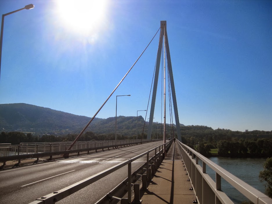
Eventually, the path snakes its way back to the Bernstein Strasse highway, which then takes you across the Danube to Hainburg via this bridge.
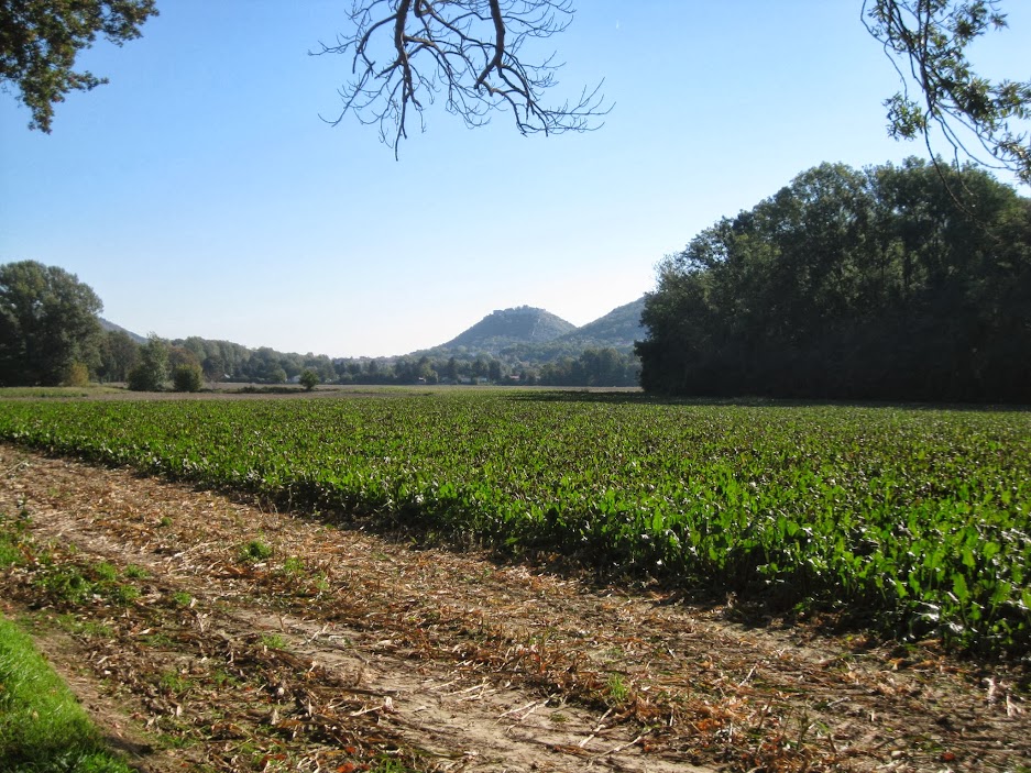
From here you've got a nice view of Hainburg, with the town center down by the river, and the historical castle ruins sitting directly atop the slightly breast-shaped hill just beyond. There's not a ton to say about Hainburg, except that it is kind of well known for its castle ruins, and it appears to have been a stable town, historically, although, sadly, a fairly busy artery now runs right through its center, which detracts from its quaintness. It's nevertheless a moderately cute town.

The bridge is actually more than a mile long, as most of it runs over several flood canals and swampy terrain before you actually get to the Danube. Once across the Danube, you'll notice off to your right what appears to be a quarry with a gothic (possibly neo-gothic?) cathedral sitting over it near the edge.

Once you're across the bridge you wrap back around to a path that takes you closer to the river, which affords more views of the picturesque countryside with the Hainburg Castle hill in the background.
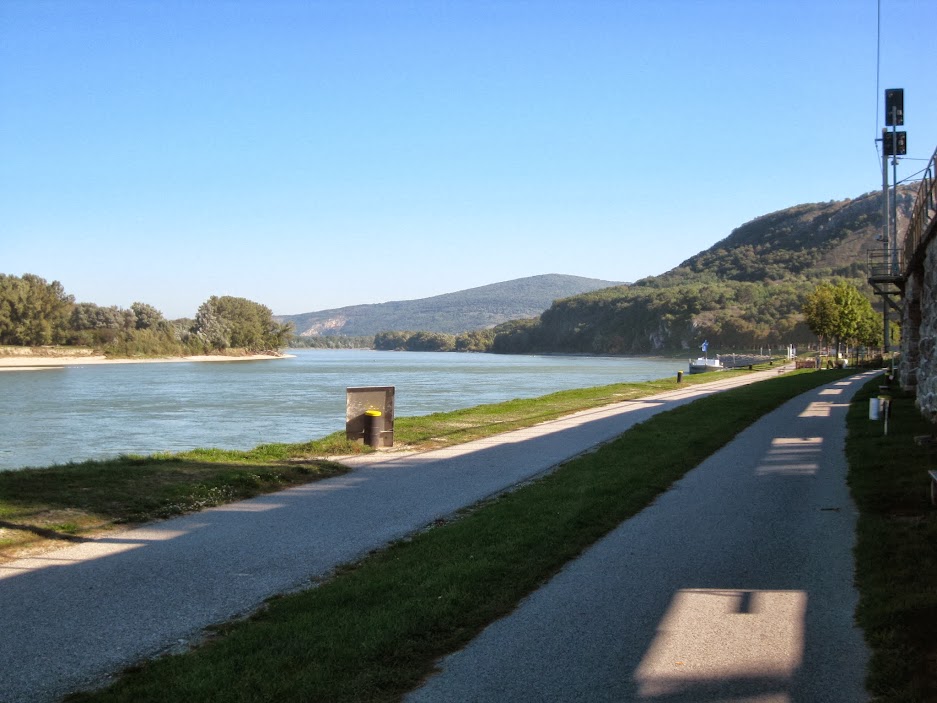
After a few miles you're in Hainburg proper, and the path takes you along the edge of the river, before cutting in and bringing you through the edge of the town's relatively dull, suburban streets.
From here you take the same path from Hainburg back to Bratislava that I wrote about here.
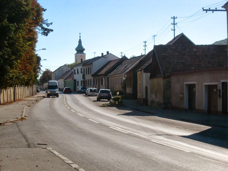
It's a generally nice stretch, which you leads you through the tediously dull village of Wolfstahl, the last village before the Slovak border. Wolfstahl is another rural, farming village, and on hot, late summer days the stench of horse manure really smacks you in the nose as you ride through its main drag.
 |
| The very dull village of Wolfstahl |
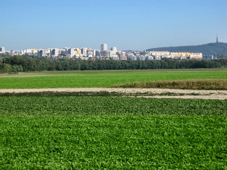
Once you can see the striking but rather Potemkin-ish Karlova Ves/Dlhé Diely development off in the distance to your left, that means Bratislava (and the Slovak border) is getting close.
And of course, once you see the Bratislava Castle and St Martin's cathedral popping up over the foliage, you cross the SNP Bridge, and you've completed the loop.

Lately I've been riding once a week from Bratislava to Neusiedl am See and back. Neusiedl is a huge lake in Austria, southwest of Bratislava, which is technically a sea because the water has salt in it. The ride is about 56.5 miles/91 kilometers round trip, so it's a good workout. And a fair amount of the route consists of smoothly paved, traffic-free, well signposted country lanes. Not sure if I'll ever get around to documenting this one with the camera, but who knows. I'm just glad I have access to this network of road cycling routes in Austria, because in Slovakia that kind of thing can be fairly dicey.
 |
| Bratislava to Neusiedl am See and back. Click the map to enlarge. |
No comments:
Post a Comment